Start made with taking aerial pictures above St. Eustatius
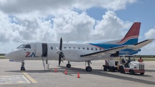
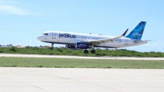
ORANJESTAD – On Thursday, the first flight over Sint Eustatius took place to capture high-quality aerial images of the island. Multiple flights are scheduled in December and January to obtain aerial photos and elevation measurements of Sint Eustatius, Saba, and Bonaire.
The initiative, led by the Public Entities and the Ministry of the Interior and Kingdom Relations, aims to enhance address and building registration on the islands. The collaborative effort is working towards establishing a centralized registry for each island, improving the reliability of data on addresses and buildings.
By utilizing aerial photos in a central registry, the precise location of addresses or buildings can be determined, reducing uncertainties in location registration. In addition to aerial photos, elevation maps of the islands will provide valuable information, especially in revealing historical structures hidden by dense vegetation.
Benefits
The project brings numerous benefits, such as visualizing infrastructure, enabling better decision-making for permits, and offering opportunities for research and market analysis. The collaboration with Beeldmateriaal Nederland, funded by the Ministry of the Interior and Kingdom Relations, marks a step towards more frequent aerial imagery capture in the future.


