KNMI to strengthen their current network on Saba
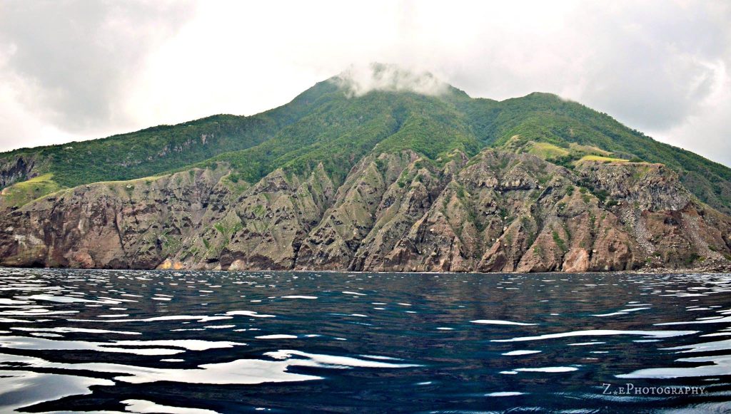
The Bottom, Saba – Saba is one of the islands that form the volcanic arc of the Lesser Antilles. Because of its potential for volcanic activity, it requires regular monitoring for signs of increased activity. Over the years, the KNMI (Koninklijk Nederlands Meteorologisch Instituut) has been building and continues to build a permanent and real-time monitoring network for both volcanic and seismic activity.
The current monitoring network installed on the island consists of four seismometer sites in each of the villages. Two of these sites are co-located with GNSS (Global Navigation Satellite System) sensors; these sites are in St. Johns and Flat Point. Additionally, there is a thermometer that monitors the temperature of the hot springs on the coast opposite Green Island.
To further strengthen the current monitoring network, a third co-located GNSS and a seismometer site are required in an area where there was an instrumentation gap. This location is Grey Hill along the North Coast Trail. The GNSS sensor accurately measures the movement of the sensor in three dimensions, which would indicate if the ground is expanding, thus signaling a change in volume of the volcano and regional plate tectonics.
The instruments’ installation is challenging since all materials need to be transported over the North Coast Trail. To minimize any risk, the Dutch military will be asked to help carry KNMI materials to Grey Hill on foot. The installation of the new instruments is planned for April 2021. To be able to plan this logistically challenging operation, three marines will scout the route this week. The marines are essential workers and will adhere to the COVID-19 measures in place.
Also read
- Traveling abroad?
- Curaçao Seeks ‘Level Playing Field’ for Local Airlines
- First Edition of Bonaire by Night on Friday, August 2

- Edsel Winklaar appointed interim director at Selibon N.V.

- Bonaire Human Rights Organization advocates for Bonaire in Azerbaijan

Meer News
-
 Advertisement
Traveling abroad?
-
 Airlift
Curaçao Seeks ‘Level Playing Field’ for Local Airlines
-
 Events
First Edition of Bonaire by Night on Friday, August 2
-
 Bonaire
Edsel Winklaar appointed interim director at Selibon N.V.
-
 Airlift
Aruba speaks to Gol Airlines about Brazil market expansion
-
 Healthcare
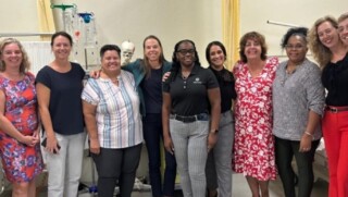
1,500 healthcare professionals trained in acute care by Caribbean Health Academy
-
 St. Eustatius
Empowering Girls: Mega D Youth Foundation hosts inspiring session with Miss Mature Shomica Griffith
-
 Saba
SabaSaba executes climate change survey among residents
Meer News
-
Advertisement
Traveling abroad?
-
Airlift
Curaçao Seeks ‘Level Playing Field’ for Local Airlines
-
Events
First Edition of Bonaire by Night on Friday, August 2
-
Bonaire
Edsel Winklaar appointed interim director at Selibon N.V.
-
Airlift
Aruba speaks to Gol Airlines about Brazil market expansion
-
Healthcare
1,500 healthcare professionals trained in acute care by Caribbean Health Academy
-
St. Eustatius
Empowering Girls: Mega D Youth Foundation hosts inspiring session with Miss Mature Shomica Griffith
-
Saba
Saba executes climate change survey among residents